 |
 |
|
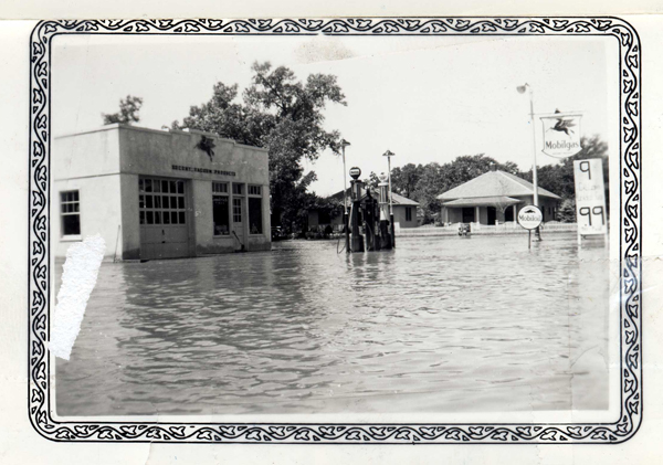
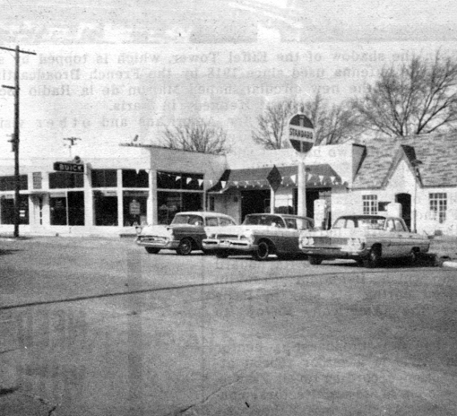
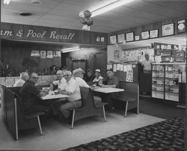
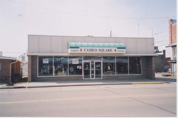
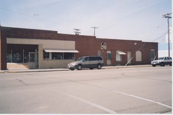
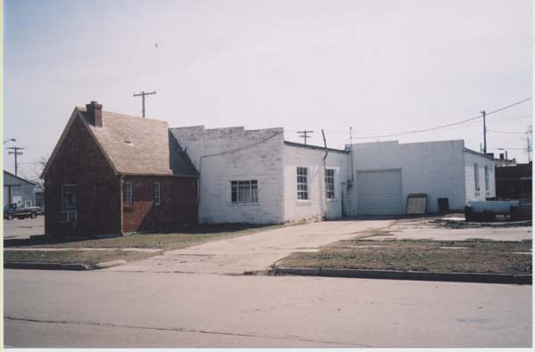
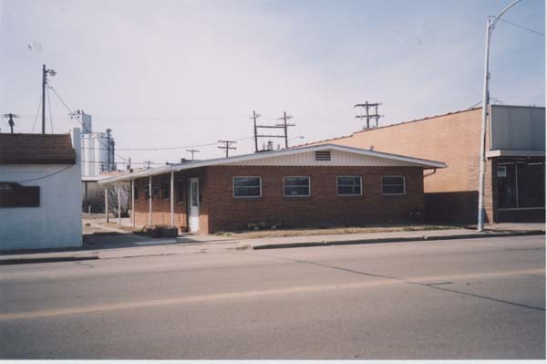
| Kinsley Downtown Mapping Project | ||
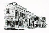
| Niles Avenue | ||
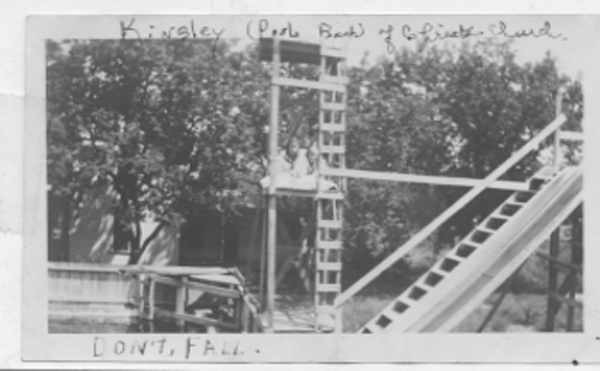
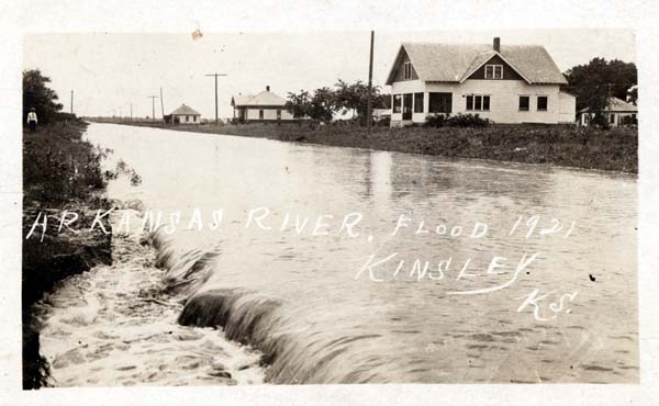
Click image to enlarge. Click title for description and copyright. |
|
|
|
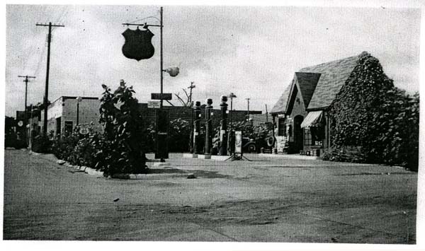
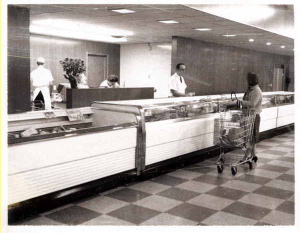
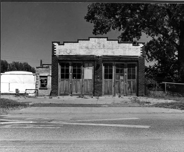
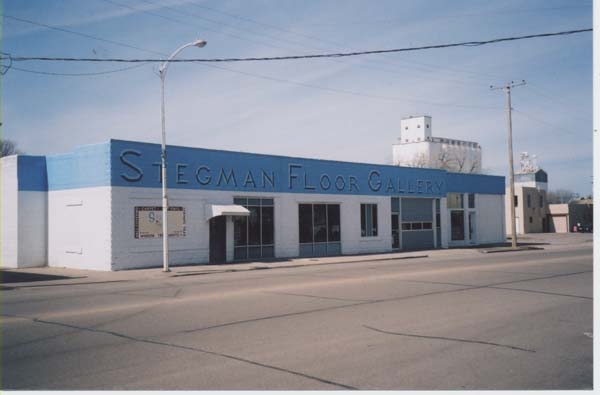
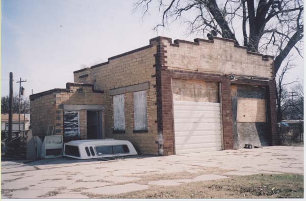
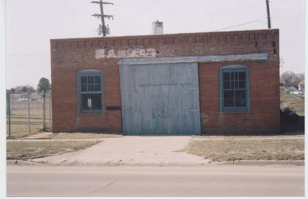
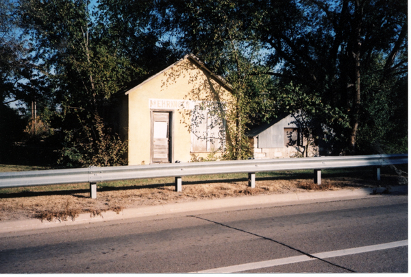
| Kinsley Downtown Mapping Project | ||
| Niles Avenue | ||
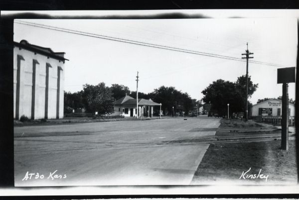
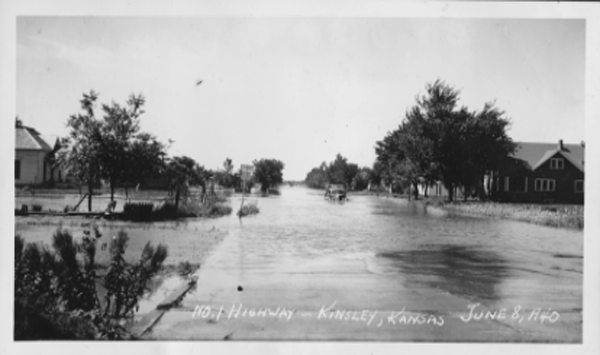
Click image to enlarge. Click title for description and copyright. |
Site design and development by Don Benish |